- Low 1:01 AM -0.0 ft
- High 7:17 AM 3.1 ft
- Low 1:46 PM 0.0 ft
- High 7:35 PM 2.3 ft
First light 5:57 AMSunrise 6:26 AMSunset 4:33 PMLast light 5:03 PM

Free. No app store and no account; it's the same site, one tap away.
Rhode Island · NOAA station Weekapaug Point, Block Island Sound (5.2 mi) · updated Nov 9, 2026
Mon, Nov 9: High tide 7:52 AM (3.1 ft) and 8:11 PM (2.2 ft); low tide 1:35 AM (0.1 ft) and 2:25 PM (0.1 ft).
Buoy: NOAA NDBC 44085 (Buzzards Bay, MA (260)), 34 mi away. Buoy readings are recent observations, not a surf forecast. Wind: observed at NOAA CO-OPS station 8452660 (Newport), 21 mi away; forecast from the NOAA National Weather Service (api.weather.gov).
Shaded = night · heights in feet above MLLW · local time
First light 5:57 AMSunrise 6:26 AMSunset 4:33 PMLast light 5:03 PM
First light 5:58 AMSunrise 6:28 AMSunset 4:32 PMLast light 5:02 PM
First light 5:59 AMSunrise 6:29 AMSunset 4:31 PMLast light 5:01 PM
First light 6:00 AMSunrise 6:30 AMSunset 4:30 PMLast light 5:00 PM
First light 6:01 AMSunrise 6:31 AMSunset 4:29 PMLast light 4:59 PM
From NOAA high/low predictions for station 8458022.
Mon, Nov 9 – Sun, Nov 15
Plan around it: Best tide for surf fishing · Best tide for surfing
NOAA predictions for station 8458022; daylight = first to last light (civil twilight). Predictions are astronomical and don't include wind, waves, or storm surge. Not for navigation.
Today is a good fishing day (solunar + tide)
6/10
New moon · 0% lit · Full moon Tue, Nov 24
| TodayNov 9 | 6/10Good | Major 10:44 am – 12:44 pm · 11:08 pm – 1:08 am Minor 6:30 am – 7:30 am · 3:51 pm – 4:51 pm |
|---|---|---|
| TueNov 10 | 6/10Good | Major 11:33 am – 1:33 pm · 11:59 pm – 1:59 am Minor 7:34 am – 8:34 am · 4:29 pm – 5:29 pm |
| WedNov 11 | 5/10Fair | Major 12:25 pm – 2:25 pm Minor 8:34 am – 9:34 am · 5:14 pm – 6:14 pm |
| ThuNov 12 | 4/10Fair | Major 12:51 am – 2:51 am · 1:16 pm – 3:16 pm Minor 9:28 am – 10:28 am · 6:06 pm – 7:06 pm |
| FriNov 13 | 7/10Good | Major 1:42 am – 3:42 am · 2:07 pm – 4:07 pm Minor 10:14 am – 11:14 am · 7:03 pm – 8:03 pm |
| SatNov 14 | 6/10Good | Major 2:32 am – 4:32 am · 2:56 pm – 4:56 pm Minor 10:52 am – 11:52 am · 8:05 pm – 9:05 pm |
| SunNov 15 | 7/10Good | Major 3:19 am – 5:19 am · 3:42 pm – 5:42 pm Minor 11:24 am – 12:24 pm · 9:08 pm – 10:08 pm |
Solunar theory says fish feed more when the moon is overhead or underfoot (major periods, about 2 hours) and around moonrise and moonset (minor periods, about 1 hour). We score each day from 1 to 10 by checking when those periods happen, using the NOAA tide predictions for station 8458022 and the sun times for this spot:
| Base | every day starts at 1 | 1 |
|---|---|---|
| Sunrise / sunset | a period overlaps sunrise or sunset ±1 h: major +2, minor +1 (max 3) (Moonrise × sunrise +1; Moonset × sunset +1) | 2 |
| Tide | a NOAA high or low falls inside a period (tide change): major +2, minor +1; moving water during a major period (no high/low within 1 h of it) +1 (max 4) (Moon overhead – moving water +1) | 1 |
| Moon phase | within 2 days of a new or full moon +2, within 4 days +1 (today: 0.4 days) | 2 |
| Today | 6, rounded | 6/10 |
1–3 poor · 4–5 fair · 6–7 good · 8–10 excellent. Solunar times are a rule of thumb, not a guarantee: weather, water temperature and bait matter a lot. Tide changes and moving water are specific to this station, so nearby spots can score differently.
Solunar periods calculated for 41.37, -71.68 (moon times from astronomical equations, local time). Not a fishing forecast.
| Sun, Nov 8Sun 6:26 AM – 4:33 PM | Low 1:01 AM -0.01 ft | High 7:17 AM 3.12 ft | Low 1:46 PM 0.04 ft | High 7:35 PM 2.34 ft |
|---|---|---|---|---|
| Mon, Nov 9Sun 6:28 AM – 4:32 PM | Low 1:35 AM 0.10 ft | High 7:52 AM 3.06 ft | Low 2:25 PM 0.12 ft | High 8:11 PM 2.23 ft |
| Tue, Nov 10Sun 6:29 AM – 4:31 PM | Low 2:05 AM 0.22 ft | High 8:27 AM 2.97 ft | Low 3:06 PM 0.21 ft | High 8:48 PM 2.13 ft |
| Wed, Nov 11Sun 6:30 AM – 4:30 PM | Low 2:32 AM 0.32 ft | High 9:04 AM 2.87 ft | Low 3:48 PM 0.29 ft | High 9:28 PM 2.05 ft |
| Thu, Nov 12Sun 6:31 AM – 4:29 PM | Low 2:52 AM 0.41 ft | High 9:43 AM 2.78 ft | Low 4:29 PM 0.36 ft | High 10:10 PM 1.99 ft |
| Fri, Nov 13Sun 6:32 AM – 4:28 PM | Low 3:21 AM 0.48 ft | High 10:23 AM 2.69 ft | Low 5:09 PM 0.42 ft | High 10:53 PM 1.96 ft |
| Sat, Nov 14Sun 6:34 AM – 4:27 PM | Low 4:04 AM 0.56 ft | High 11:03 AM 2.59 ft | Low 5:52 PM 0.47 ft | High 11:40 PM 1.95 ft |
| Sun, Nov 15Sun 6:35 AM – 4:26 PM | Low 4:52 AM 0.64 ft | High 11:49 AM 2.48 ft | Low 6:45 PM 0.49 ft | |
| Mon, Nov 16Sun 6:36 AM – 4:25 PM | High 12:42 AM 1.98 ft | Low 5:50 AM 0.72 ft | High 12:46 PM 2.38 ft | Low 7:45 PM 0.46 ft |
Tide times and heights (ft, MLLW) are NOAA predictions for station 8458022; first light (civil dawn), sunrise, sunset and last light (civil dusk) are calculated for Charlestown with the NOAA solar equations. Times are local.
Charlestown has a semidiurnal tide: two high tides and two low tides of similar height each day. The average rise or fall between high and low tide is 2.5 ft, growing to about 3.3 ft at spring tides (around new and full moon) and shrinking to about 2.3 ft at neap tides (around the quarter moons). The highest tide predicted in the next 12 months is 3.6 ft on December 24, 2026 at 7:57 AM; the lowest is -0.5 ft on September 1, 2027 at 3:07 AM, and 206 low tides in that period drop below zero (MLLW).
Computed from 12 months of NOAA high/low predictions for station 8458022 (Weekapaug Point, Block Island Sound); heights in feet above MLLW.
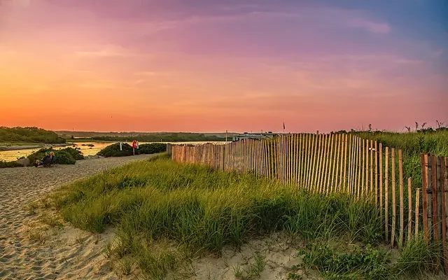 StaysHotels & beach rentals in CharlestownCharlestown, RICompare stays on Stay22 →
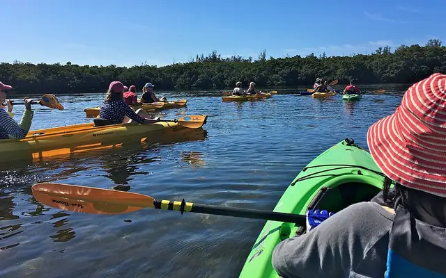 ToursKayak, boat & sightseeing toursAround CharlestownSee tours on GetYourGuide →
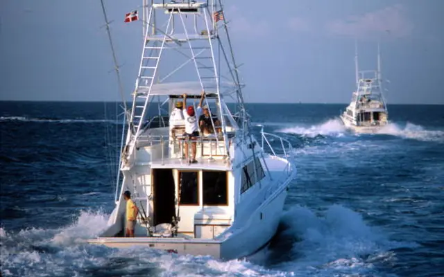 FishingFishing charters & boat tripsAround NewportSee trips on Viator →
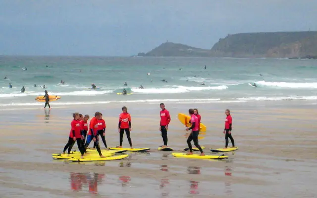 Surf lessonSurf schools & lessonsUS & CaribbeanFind a lesson on BookSurfCamps →
Top-rated trips on the water in and around Charlestown: photos, prices and reviews from Viator
 CruiseSunset Cruise with Gansett Cruises in Newport, RIAround Newport★ 4.8 (643) · 1 h · from $50See on Viator →
 CruiseScenic Bay Cruise of Narragansett Bay from NewportAround Newport★ 4.7 (313) · 1.2 h · from $42See on Viator →
 SailingMorning Mimosa Sightseeing Sail on Schooner Madeleine in NewportAround Newport★ 4.8 (58) · 1.5 h · from $61See on Viator →
 PaddlingMystic Country Connecticut Bike and Kayak RentalsAround Mystic3 h · from $59See on Viator →
 CruiseAfternoon Grand Tour | Gansett Cruises in Newport, RIAround Newport★ 4.9 (2,060) · 1.2 h · from $42See on Viator →
 Ghost tourDowntown Mystic Ghost TourAround Mystic★ 4.8 (330) · 1.8 h · from $30See on Viator →
Prices are “from” per person (or per group/boat where the trip says so) and can change; check the date you want on Viator.
Live from GetYourGuide: photos, prices and ratings
Want coaching, or waves when Charlestown goes flat?
We may earn a commission when you book through these links, at no extra cost to you. Affiliate disclosure
Photos via Wikimedia Commons, cropped: Dennis Weeks (CC BY 4.0) · Fred Hsu on en.wikipedia (CC BY-SA 3.0) · Florida Memory (Public domain) · Rod Allday (CC BY-SA 2.0) · Bernal Saborio from Costa Rica (CC BY-SA 2.0) · Armando Olivo Martín del Campo (CC BY-SA 4.0). Photos show the area or activity, not a specific listing.
Charlestown is a town in Washington County, Rhode Island, on Rhode Island's south coast.
Station chosen by distance from the coordinates above. Charlestown is 5.2 miles from this station, so tide times at a particular beach can differ from these predictions; use them as a guide.
On Mon, Nov 9, predicted high tide for Charlestown (NOAA station Weekapaug Point, Block Island Sound) is at 7:52 AM (3.1 ft), 8:11 PM (2.2 ft) local time.
On Mon, Nov 9, predicted low tide for Charlestown is at 1:35 AM (0.1 ft), 2:25 PM (0.1 ft) local time.
On Tue, Nov 10, predicted high tides are at 8:27 AM (3.0 ft) and 8:48 PM (2.1 ft) for Charlestown; low tides are at 2:05 AM (0.2 ft) and 3:06 PM (0.2 ft) (local time).
NOAA CO-OPS station 8458022 (Weekapaug Point, Block Island Sound, RI), a reference (harmonic) station, about 5.2 miles from the Charlestown reference point. Heights are in feet above Mean Lower Low Water (MLLW).
On Mon, Nov 9, first light (civil dawn) is about 5:58 AM, sunrise 6:28 AM, sunset 4:32 PM and last light (civil dusk) 5:02 PM local time (calculated).
 Surf camp
 Surf trip