- Low 12:01 AM 0.0 ft
- High 6:19 AM 4.8 ft
- Low 12:42 PM 0.1 ft
- High 6:37 PM 3.9 ft
First light 6:05 AMSunrise 6:34 AMSunset 4:49 PMLast light 5:17 PM

Free. No app store and no account; it's the same site, one tap away.
New Jersey · NOAA station Ventnor City, Ocean Pier (3.1 mi) · updated Nov 9, 2026
Mon, Nov 9: High tide 6:57 AM (4.9 ft) and 7:17 PM (3.7 ft); low tide 12:38 AM (0.1 ft) and 1:24 PM (0.1 ft).
Buoy: NOAA NDBC 44091 (Barnegat, NJ (209)), 51 mi away. Buoy readings are recent observations, not a surf forecast. Wind: observed at NOAA NDBC station JCRN4 (Nacote Creek, Jacques Cousteau Reserve, NJ), 16 mi away; forecast from the NOAA National Weather Service (api.weather.gov).
Shaded = night · heights in feet above MLLW · local time
First light 6:05 AMSunrise 6:34 AMSunset 4:49 PMLast light 5:17 PM
First light 6:06 AMSunrise 6:35 AMSunset 4:48 PMLast light 5:16 PM
First light 6:07 AMSunrise 6:36 AMSunset 4:47 PMLast light 5:16 PM
First light 6:08 AMSunrise 6:37 AMSunset 4:46 PMLast light 5:15 PM
First light 6:09 AMSunrise 6:38 AMSunset 4:45 PMLast light 5:14 PM
From NOAA high/low predictions for station 8534770.
Mon, Nov 9 – Sun, Nov 15
Plan around it: Jersey Shore surf fishing · Best tide for surf fishing · Best tide for surfing
NOAA predictions for station 8534770; daylight = first to last light (civil twilight). Predictions are astronomical and don't include wind, waves, or storm surge. Not for navigation.
Today is an excellent fishing day (solunar + tide)
8/10
New moon · 0% lit · Full moon Tue, Nov 24
| TodayNov 9 | 8/10Excellent | Major 10:55 am – 12:55 pm · 11:20 pm – 1:20 am Minor 6:35 am – 7:35 am · 4:10 pm – 5:10 pm |
|---|---|---|
| TueNov 10 | 4/10Fair | Major 11:45 am – 1:45 pm Minor 7:38 am – 8:38 am · 4:49 pm – 5:49 pm |
| WedNov 11 | 5/10Fair | Major 12:11 am – 2:11 am · 12:37 pm – 2:37 pm Minor 8:38 am – 9:38 am · 5:34 pm – 6:34 pm |
| ThuNov 12 | 6/10Good | Major 1:02 am – 3:02 am · 1:28 pm – 3:28 pm Minor 9:31 am – 10:31 am · 6:26 pm – 7:26 pm |
| FriNov 13 | 7/10Good | Major 1:54 am – 3:54 am · 2:19 pm – 4:19 pm Minor 10:17 am – 11:17 am · 7:23 pm – 8:23 pm |
| SatNov 14 | 7/10Good | Major 2:43 am – 4:43 am · 3:08 pm – 5:08 pm Minor 10:56 am – 11:56 am · 8:24 pm – 9:24 pm |
| SunNov 15 | 7/10Good | Major 3:31 am – 5:31 am · 3:54 pm – 5:54 pm Minor 11:29 am – 12:29 pm · 9:25 pm – 10:25 pm |
Solunar theory says fish feed more when the moon is overhead or underfoot (major periods, about 2 hours) and around moonrise and moonset (minor periods, about 1 hour). We score each day from 1 to 10 by checking when those periods happen, using the NOAA tide predictions for station 8534770 and the sun times for this spot:
| Base | every day starts at 1 | 1 |
|---|---|---|
| Sunrise / sunset | a period overlaps sunrise or sunset ±1 h: major +2, minor +1 (max 3) (Moonrise × sunrise +1; Moonset × sunset +1) | 2 |
| Tide | a NOAA high or low falls inside a period (tide change): major +2, minor +1; moving water during a major period (no high/low within 1 h of it) +1 (max 4) (Moonrise – tide change +1; Moon underfoot – tide change +2) | 3 |
| Moon phase | within 2 days of a new or full moon +2, within 4 days +1 (today: 0.4 days) | 2 |
| Today | 8, rounded | 8/10 |
1–3 poor · 4–5 fair · 6–7 good · 8–10 excellent. Solunar times are a rule of thumb, not a guarantee: weather, water temperature and bait matter a lot. Tide changes and moving water are specific to this station, so nearby spots can score differently.
Solunar periods calculated for 39.31, -74.53 (moon times from astronomical equations, local time). Not a fishing forecast.
| Sun, Nov 8Sun 6:34 AM – 4:49 PM | Low 12:01 AM 0.02 ft | High 6:19 AM 4.84 ft | Low 12:42 PM 0.06 ft | High 6:37 PM 3.86 ft |
|---|---|---|---|---|
| Mon, Nov 9Sun 6:35 AM – 4:48 PM | Low 12:38 AM 0.08 ft | High 6:57 AM 4.88 ft | Low 1:24 PM 0.07 ft | High 7:17 PM 3.72 ft |
| Tue, Nov 10Sun 6:36 AM – 4:47 PM | Low 1:15 AM 0.17 ft | High 7:36 AM 4.85 ft | Low 2:04 PM 0.14 ft | High 7:57 PM 3.55 ft |
| Wed, Nov 11Sun 6:37 AM – 4:46 PM | Low 1:50 AM 0.30 ft | High 8:14 AM 4.75 ft | Low 2:44 PM 0.27 ft | High 8:36 PM 3.38 ft |
| Thu, Nov 12Sun 6:38 AM – 4:45 PM | Low 2:25 AM 0.46 ft | High 8:53 AM 4.61 ft | Low 3:25 PM 0.44 ft | High 9:17 PM 3.19 ft |
| Fri, Nov 13Sun 6:39 AM – 4:44 PM | Low 3:01 AM 0.63 ft | High 9:35 AM 4.43 ft | Low 4:10 PM 0.60 ft | High 10:01 PM 3.04 ft |
| Sat, Nov 14Sun 6:40 AM – 4:43 PM | Low 3:42 AM 0.80 ft | High 10:20 AM 4.25 ft | Low 4:59 PM 0.73 ft | High 10:50 PM 2.93 ft |
| Sun, Nov 15Sun 6:41 AM – 4:43 PM | Low 4:29 AM 0.95 ft | High 11:07 AM 4.07 ft | Low 5:49 PM 0.80 ft | High 11:43 PM 2.90 ft |
| Mon, Nov 16Sun 6:43 AM – 4:42 PM | Low 5:25 AM 1.06 ft | High 11:58 AM 3.92 ft | Low 6:37 PM 0.79 ft |
Tide times and heights (ft, MLLW) are NOAA predictions for station 8534770; first light (civil dawn), sunrise, sunset and last light (civil dusk) are calculated for Longport with the NOAA solar equations. Times are local.
Longport has a semidiurnal tide: two high tides and two low tides of similar height each day. The average rise or fall between high and low tide is 3.9 ft, growing to about 5.3 ft at spring tides (around new and full moon) and shrinking to about 3.3 ft at neap tides (around the quarter moons). The highest tide predicted in the next 12 months is 5.7 ft on July 4, 2027 at 8:31 PM; the lowest is -1.1 ft on January 23, 2027 at 1:19 AM, and 208 low tides in that period drop below zero (MLLW).
Computed from 12 months of NOAA high/low predictions for station 8534770 (Ventnor City, Ocean Pier); heights in feet above MLLW.
 ToursKayak, boat & sightseeing toursAround Atlantic CitySee tours on GetYourGuide →
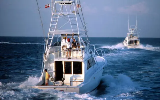 FishingFishing charters & boat tripsAround Atlantic CitySee trips on Viator →
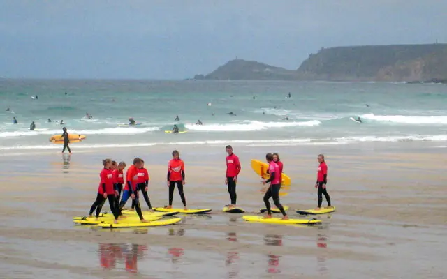 Surf lessonSurf schools & lessonsUS & CaribbeanFind a lesson on BookSurfCamps →
Top-rated trips on the water in and around Longport: photos, prices and reviews from Viator
 WildlifeDolphin Watching Adventure Cruise in Atlantic CityAround Atlantic City★ 4.3 (39) · 1.5 h · from $50See on Viator →
 Ghost tourAces to Ashes: Apparitions of Atlantic City Boardwalk Ghost TourAround Atlantic City★ 4.0 (41) · 1 h · from $26See on Viator →
Prices are “from” per person (or per group/boat where the trip says so) and can change; check the date you want on Viator.
Live from GetYourGuide: photos, prices and ratings
Want coaching, or waves when Longport goes flat?
We may earn a commission when you book through these links, at no extra cost to you. Affiliate disclosure
Photos via Wikimedia Commons, cropped: Fred Hsu on en.wikipedia (CC BY-SA 3.0) · Florida Memory (Public domain) · Rod Allday (CC BY-SA 2.0) · Bernal Saborio from Costa Rica (CC BY-SA 2.0) · Armando Olivo Martín del Campo (CC BY-SA 4.0). Photos show the area or activity, not a specific listing.
Longport is a borough in Atlantic County, New Jersey, at the southern end of Absecon Island.
NOAA's Ventnor City ocean pier station was chosen over the nearer station inside Great Egg Harbor Inlet, since beach tides follow the open coast.
On Mon, Nov 9, predicted high tide for Longport (NOAA station Ventnor City, Ocean Pier) is at 6:57 AM (4.9 ft), 7:17 PM (3.7 ft) local time.
On Mon, Nov 9, predicted low tide for Longport is at 12:38 AM (0.1 ft), 1:24 PM (0.1 ft) local time.
On Tue, Nov 10, predicted high tides are at 7:36 AM (4.8 ft) and 7:57 PM (3.6 ft) for Longport; low tides are at 1:15 AM (0.2 ft) and 2:04 PM (0.1 ft) (local time).
NOAA CO-OPS station 8534770 (Ventnor City, Ocean Pier, NJ), a reference (harmonic) station, about 3.1 miles from the Longport reference point. Heights are in feet above Mean Lower Low Water (MLLW).
On Mon, Nov 9, first light (civil dawn) is about 6:06 AM, sunrise 6:35 AM, sunset 4:48 PM and last light (civil dusk) 5:16 PM local time (calculated).
 Surf camp
 Surf trip