- High 3:07 AM 10.2 ft
- Low 9:12 AM 1.2 ft
- High 3:25 PM 11.3 ft
- Low 9:59 PM 0.2 ft
First light 5:39 AMSunrise 6:10 AMSunset 4:21 PMLast light 4:52 PM

Free. No app store and no account; it's the same site, one tap away.
Maine · NOAA station Bar Harbor (3.0 mi) · updated Nov 2, 2026
Mon, Nov 2: High tide 4:14 AM (10.1 ft) and 4:35 PM (11.0 ft); low tide 10:22 AM (1.3 ft) and 11:05 PM (0.3 ft).
Water level: NOAA CO-OPS station 8413320 (preliminary, MLLW). Buoy: NOAA NDBC 44034 (Buoy I01 - Eastern Maine Shelf), 22 mi away. Buoy readings are recent observations, not a surf forecast. Wind: observed at NOAA NDBC station 44034 (Buoy I01 - Eastern Maine Shelf), 22 mi away; forecast from the NOAA National Weather Service (api.weather.gov).
Shaded = night · heights in feet above MLLW · local time
First light 5:39 AMSunrise 6:10 AMSunset 4:21 PMLast light 4:52 PM
First light 5:40 AMSunrise 6:11 AMSunset 4:20 PMLast light 4:51 PM
First light 5:42 AMSunrise 6:13 AMSunset 4:19 PMLast light 4:50 PM
First light 5:43 AMSunrise 6:14 AMSunset 4:17 PMLast light 4:49 PM
First light 5:44 AMSunrise 6:15 AMSunset 4:16 PMLast light 4:47 PM
From NOAA high/low predictions for station 8413320.
Mon, Nov 2 – Sun, Nov 8
Plan around it: Best tide for surf fishing · Best tide for surfing
NOAA predictions for station 8413320; daylight = first to last light (civil twilight). Predictions are astronomical and don't include wind, waves, or storm surge. Not for navigation.
Today is a poor fishing day (solunar + tide)
3/10
Waning crescent · 41% lit · New moon Mon, Nov 9
| TodayNov 2 | 3/10Poor | Major 5:08 am – 7:08 am · 5:33 pm – 7:33 pm Minor 12:51 pm – 1:51 pm · 11:26 pm – 12:26 am |
|---|---|---|
| TueNov 3 | 3/10Poor | Major 5:57 am – 7:57 am · 6:20 pm – 8:20 pm Minor 1:14 pm – 2:14 pm |
| WedNov 4 | 3/10Poor | Major 6:43 am – 8:43 am · 7:05 pm – 9:05 pm Minor 12:39 am – 1:39 am · 1:33 pm – 2:33 pm |
| ThuNov 5 | 4/10Fair | Major 7:27 am – 9:27 am · 7:49 pm – 9:49 pm Minor 1:50 am – 2:50 am · 1:52 pm – 2:52 pm |
| FriNov 6 | 6/10Good | Major 8:11 am – 10:11 am · 8:33 pm – 10:33 pm Minor 2:59 am – 3:59 am · 2:12 pm – 3:12 pm |
| SatNov 7 | 8/10Excellent | Major 8:55 am – 10:55 am · 9:18 pm – 11:18 pm Minor 4:08 am – 5:08 am · 2:33 pm – 3:33 pm |
| SunNov 8 | 9/10Excellent | Major 9:41 am – 11:41 am · 10:05 pm – 12:05 am Minor 5:17 am – 6:17 am · 2:57 pm – 3:57 pm |
Solunar theory says fish feed more when the moon is overhead or underfoot (major periods, about 2 hours) and around moonrise and moonset (minor periods, about 1 hour). We score each day from 1 to 10 by checking when those periods happen, using the NOAA tide predictions for station 8413320 and the sun times for this spot:
| Base | every day starts at 1 | 1 |
|---|---|---|
| Sunrise / sunset | a period overlaps sunrise or sunset ±1 h: major +2, minor +1 (max 3) (Moon overhead × sunrise +2) | 2 |
| Tide | a NOAA high or low falls inside a period (tide change): major +2, minor +1; moving water during a major period (no high/low within 1 h of it) +1 (max 4) | 0 |
| Moon phase | within 2 days of a new or full moon +2, within 4 days +1 (today: 6.6 days) | 0 |
| Today | 3, rounded | 3/10 |
1–3 poor · 4–5 fair · 6–7 good · 8–10 excellent. Solunar times are a rule of thumb, not a guarantee: weather, water temperature and bait matter a lot. Tide changes and moving water are specific to this station, so nearby spots can score differently.
Solunar periods calculated for 44.40, -68.26 (moon times from astronomical equations, local time). Not a fishing forecast.
| Sun, Nov 1Sun 6:10 AM – 4:21 PM | High 3:07 AM 10.25 ft | Low 9:12 AM 1.20 ft | High 3:25 PM 11.32 ft | Low 9:59 PM 0.16 ft |
|---|---|---|---|---|
| Mon, Nov 2Sun 6:11 AM – 4:20 PM | High 4:14 AM 10.13 ft | Low 10:22 AM 1.29 ft | High 4:35 PM 10.97 ft | Low 11:05 PM 0.34 ft |
| Tue, Nov 3Sun 6:13 AM – 4:19 PM | High 5:22 AM 10.24 ft | Low 11:33 AM 1.14 ft | High 5:45 PM 10.82 ft | |
| Wed, Nov 4Sun 6:14 AM – 4:17 PM | Low 12:09 AM 0.36 ft | High 6:25 AM 10.56 ft | Low 12:39 PM 0.80 ft | High 6:50 PM 10.81 ft |
| Thu, Nov 5Sun 6:15 AM – 4:16 PM | Low 1:08 AM 0.32 ft | High 7:23 AM 10.97 ft | Low 1:39 PM 0.36 ft | High 7:49 PM 10.88 ft |
| Fri, Nov 6Sun 6:17 AM – 4:15 PM | Low 2:01 AM 0.28 ft | High 8:14 AM 11.35 ft | Low 2:32 PM -0.03 ft | High 8:41 PM 10.92 ft |
| Sat, Nov 7Sun 6:18 AM – 4:14 PM | Low 2:49 AM 0.32 ft | High 9:00 AM 11.62 ft | Low 3:21 PM -0.30 ft | High 9:29 PM 10.89 ft |
| Sun, Nov 8Sun 6:20 AM – 4:12 PM | Low 3:34 AM 0.45 ft | High 9:42 AM 11.73 ft | Low 4:05 PM -0.39 ft | High 10:13 PM 10.77 ft |
| Mon, Nov 9Sun 6:21 AM – 4:11 PM | Low 4:15 AM 0.68 ft | High 10:22 AM 11.70 ft | Low 4:46 PM -0.32 ft | High 10:55 PM 10.58 ft |
Tide times and heights (ft, MLLW) are NOAA predictions for station 8413320; first light (civil dawn), sunrise, sunset and last light (civil dusk) are calculated for Bar Harbor with the NOAA solar equations. Times are local.
Bar Harbor has a semidiurnal tide: two high tides and two low tides of similar height each day. The average rise or fall between high and low tide is 10.3 ft, growing to about 12.9 ft at spring tides (around new and full moon) and shrinking to about 9.3 ft at neap tides (around the quarter moons). The highest tide predicted in the next 12 months is 13.2 ft on August 4, 2027 at 12:18 AM; the lowest is -1.9 ft on January 23, 2027 at 5:20 PM, and 186 low tides in that period drop below zero (MLLW).
Computed from 12 months of NOAA high/low predictions for station 8413320 (Bar Harbor); heights in feet above MLLW.
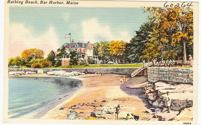 StaysHotels & beach rentals in Bar HarborBar Harbor, MECompare stays on Stay22 →
 ToursKayak, boat & sightseeing toursAround Bar HarborSee tours on GetYourGuide →
 FishingFishing charters & boat tripsBar Harbor, MESee trips on Viator →
 Surf lessonSurf schools & lessonsUS & CaribbeanFind a lesson on BookSurfCamps →
Top-rated trips on the water in and around Bar Harbor: photos, prices and reviews from Viator
 TourBar Harbor Premium Tour with Cadillac Mountain and Acadia ParkBar Harbor★ 4.7 (404) · 4 h · from $159See on Viator →
 Sailing1.5 to 2-Hr Windjammer Sailing Trip in Maine w/ Licensed CaptainBar Harbor★ 4.1 (789) · 2 h · from $70See on Viator →
 Walking tourBar Harbor Walking TourBar Harbor★ 4.6 (27) · 1.3 h · from $30See on Viator →
 TourAcadia National Park Full Circle with Lighthouse Private TourBar Harbor★ 4.8 (4) · 6 h · from $899See on Viator →
 Tour6 Hour Private Ultimate Acadia & Mount Desert Island TourAround Mount Desert★ 4.9 (216) · 6 h · from $1,025See on Viator →
 PaddlingPrivate Acadia National Park Tour and Kayaking on Jordan PondBar Harbor6–8 h · from $1,100See on Viator →
Prices are “from” per person (or per group/boat where the trip says so) and can change; check the date you want on Viator.
Live from GetYourGuide: photos, prices and ratings
Want coaching, or waves when Bar Harbor goes flat?
We may earn a commission when you book through these links, at no extra cost to you. Affiliate disclosure
Photos via Wikimedia Commons, cropped: Tichnor Brothers, Publisher (Public domain) · Fred Hsu on en.wikipedia (CC BY-SA 3.0) · Florida Memory (Public domain) · Rod Allday (CC BY-SA 2.0) · Bernal Saborio from Costa Rica (CC BY-SA 2.0) · Armando Olivo Martín del Campo (CC BY-SA 4.0). Photos show the area or activity, not a specific listing.
Bar Harbor is a town in Hancock County, Maine, on Mount Desert Island next to Acadia National Park.
Station chosen by distance from the coordinates above.
On Mon, Nov 2, predicted high tide for Bar Harbor (NOAA station Bar Harbor) is at 4:14 AM (10.1 ft), 4:35 PM (11.0 ft) local time.
On Mon, Nov 2, predicted low tide for Bar Harbor is at 10:22 AM (1.3 ft), 11:05 PM (0.3 ft) local time.
On Tue, Nov 3, predicted high tides are at 5:22 AM (10.2 ft) and 5:45 PM (10.8 ft) for Bar Harbor; low tide is at 11:33 AM (1.1 ft) (local time).
NOAA CO-OPS station 8413320 (Bar Harbor, ME), a reference (harmonic) station, about 3.0 miles from the Bar Harbor reference point. Heights are in feet above Mean Lower Low Water (MLLW).
On Mon, Nov 2, first light (civil dawn) is about 5:40 AM, sunrise 6:11 AM, sunset 4:20 PM and last light (civil dusk) 4:51 PM local time (calculated).
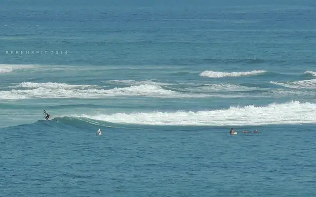 Surf camp
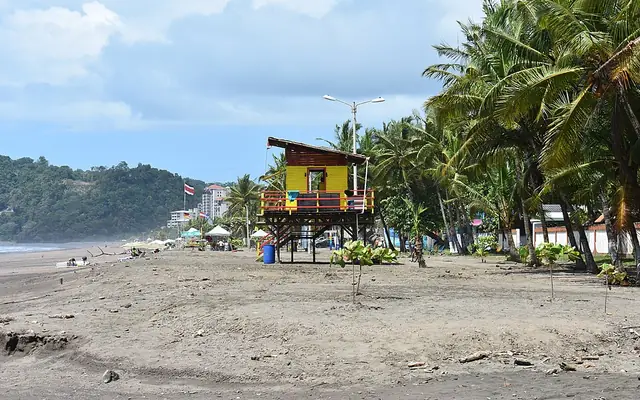 Surf trip